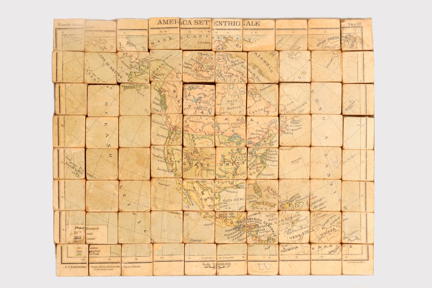
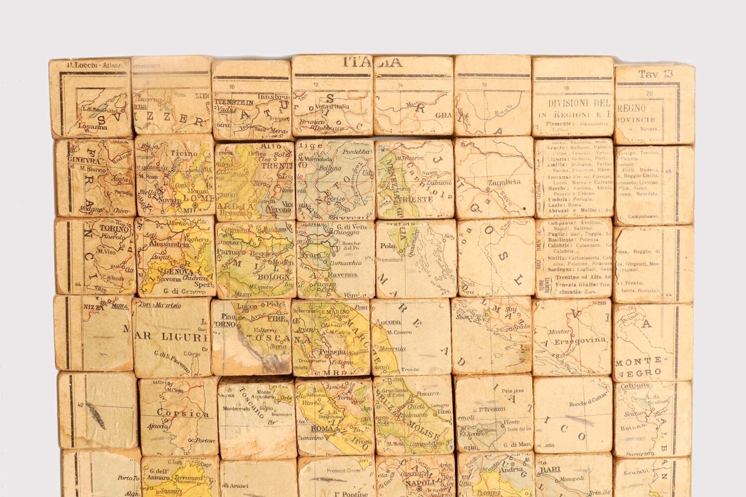
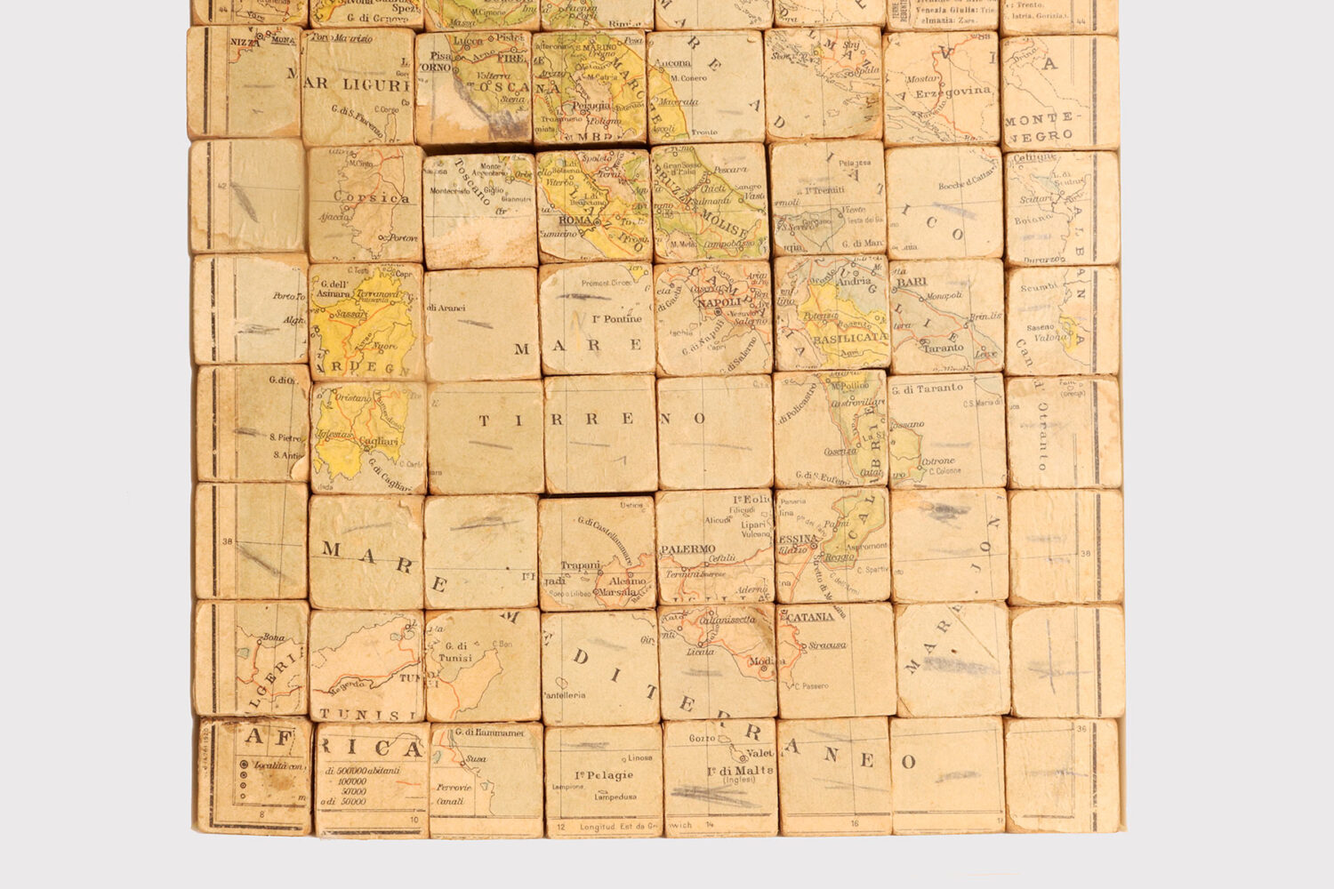
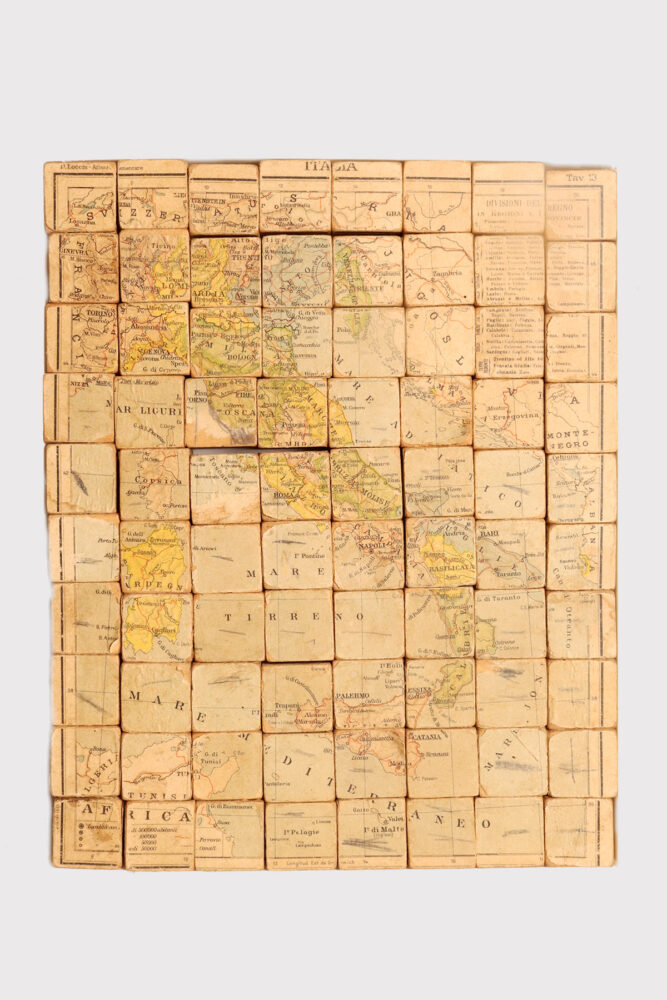
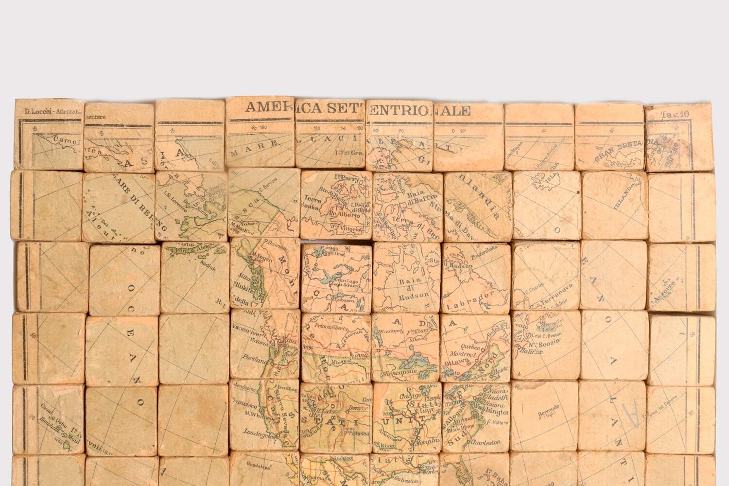
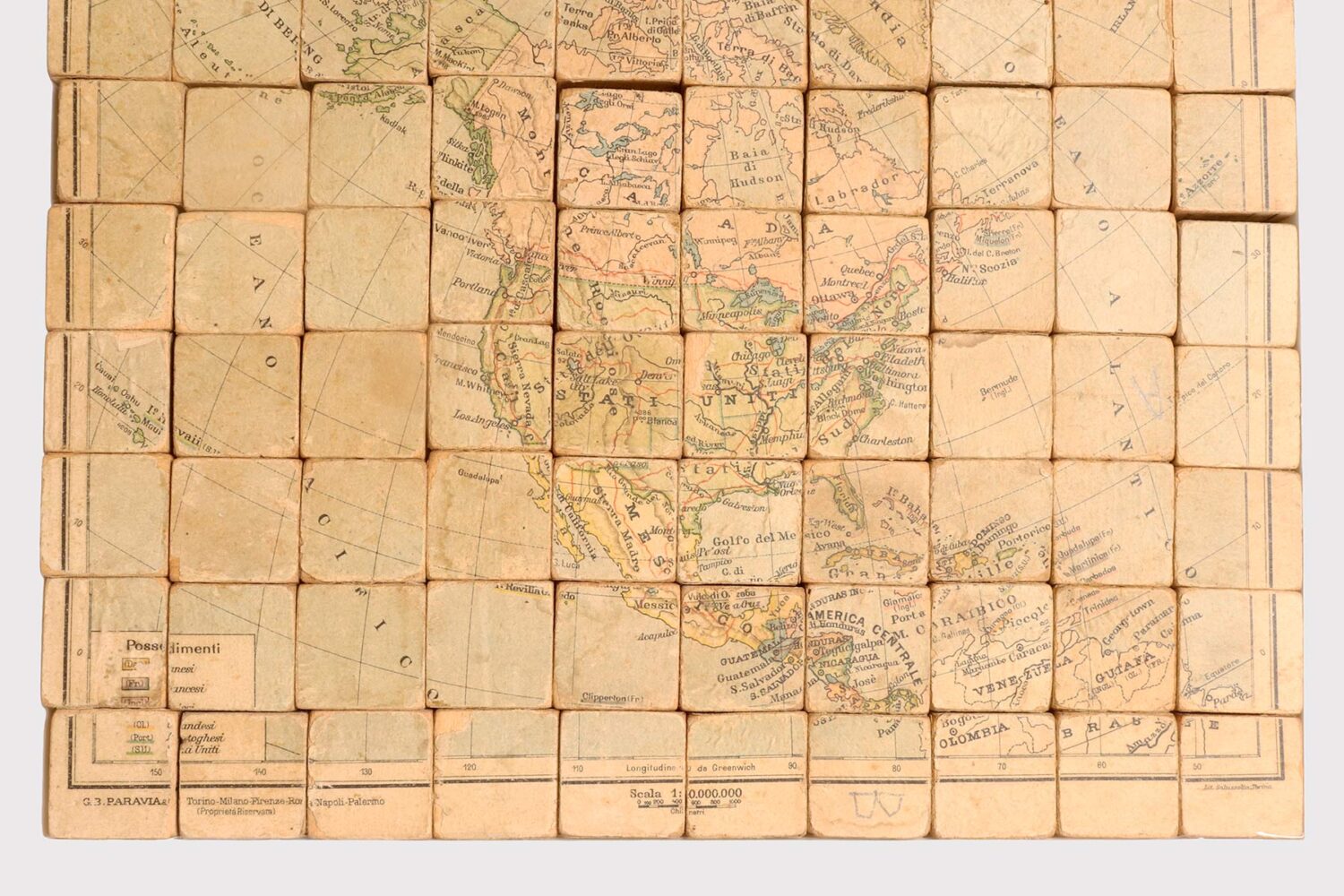
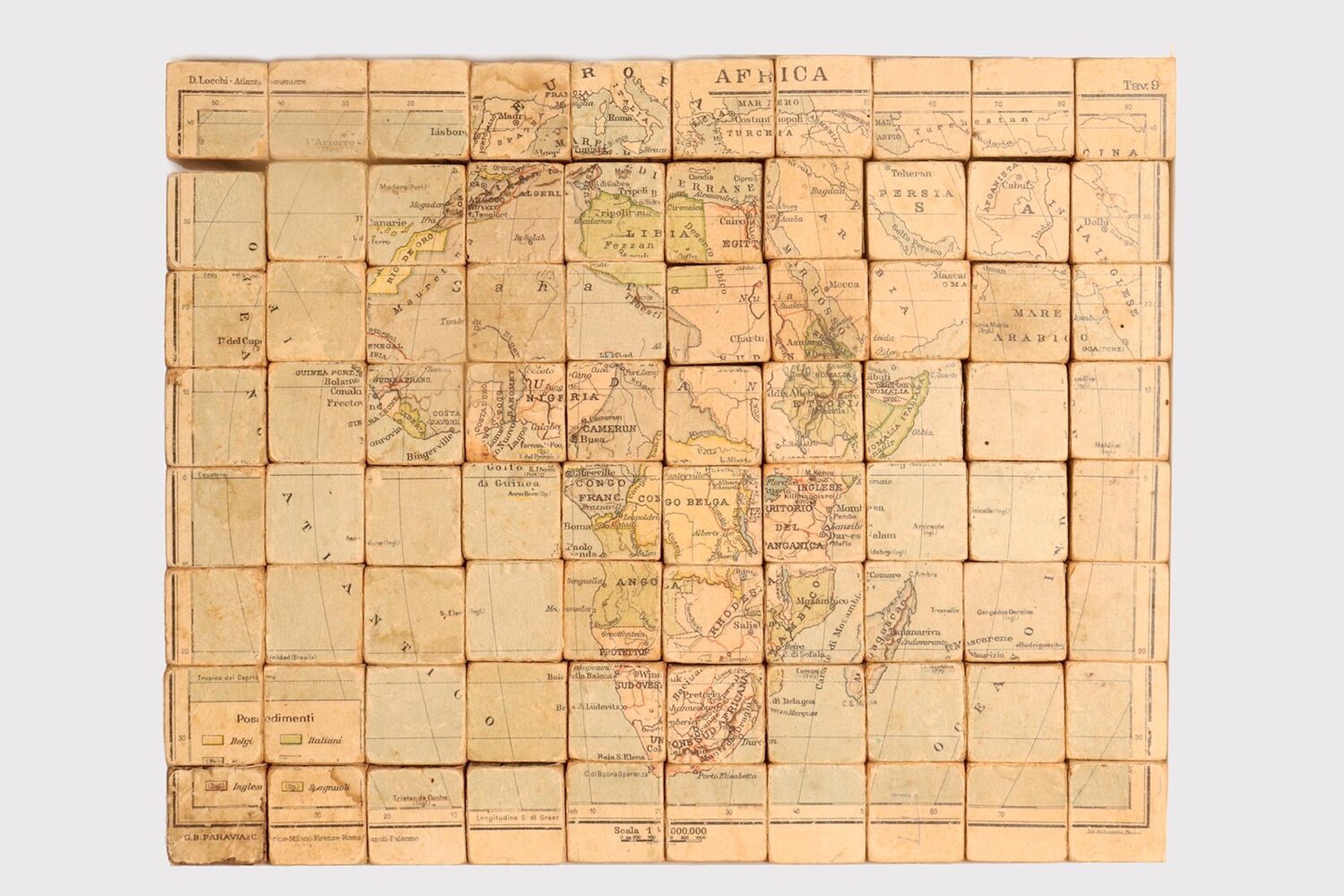
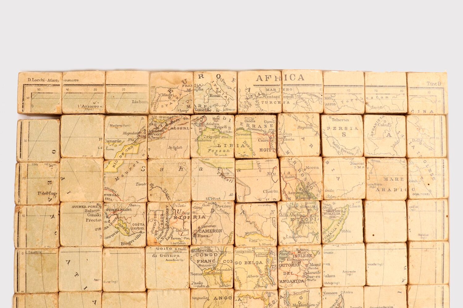
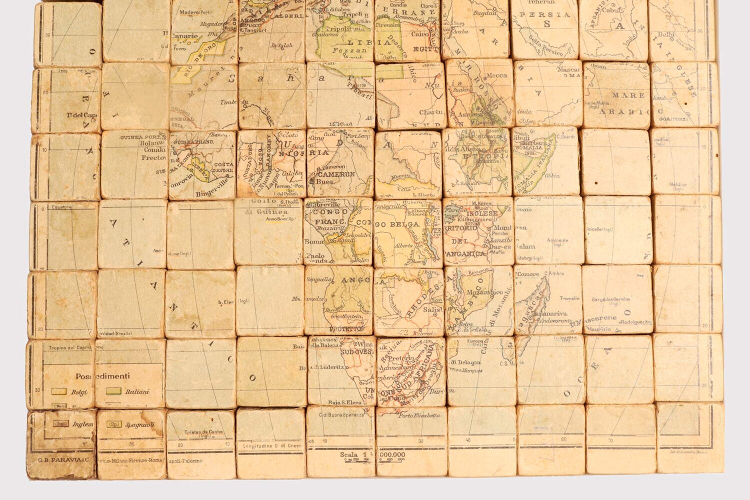
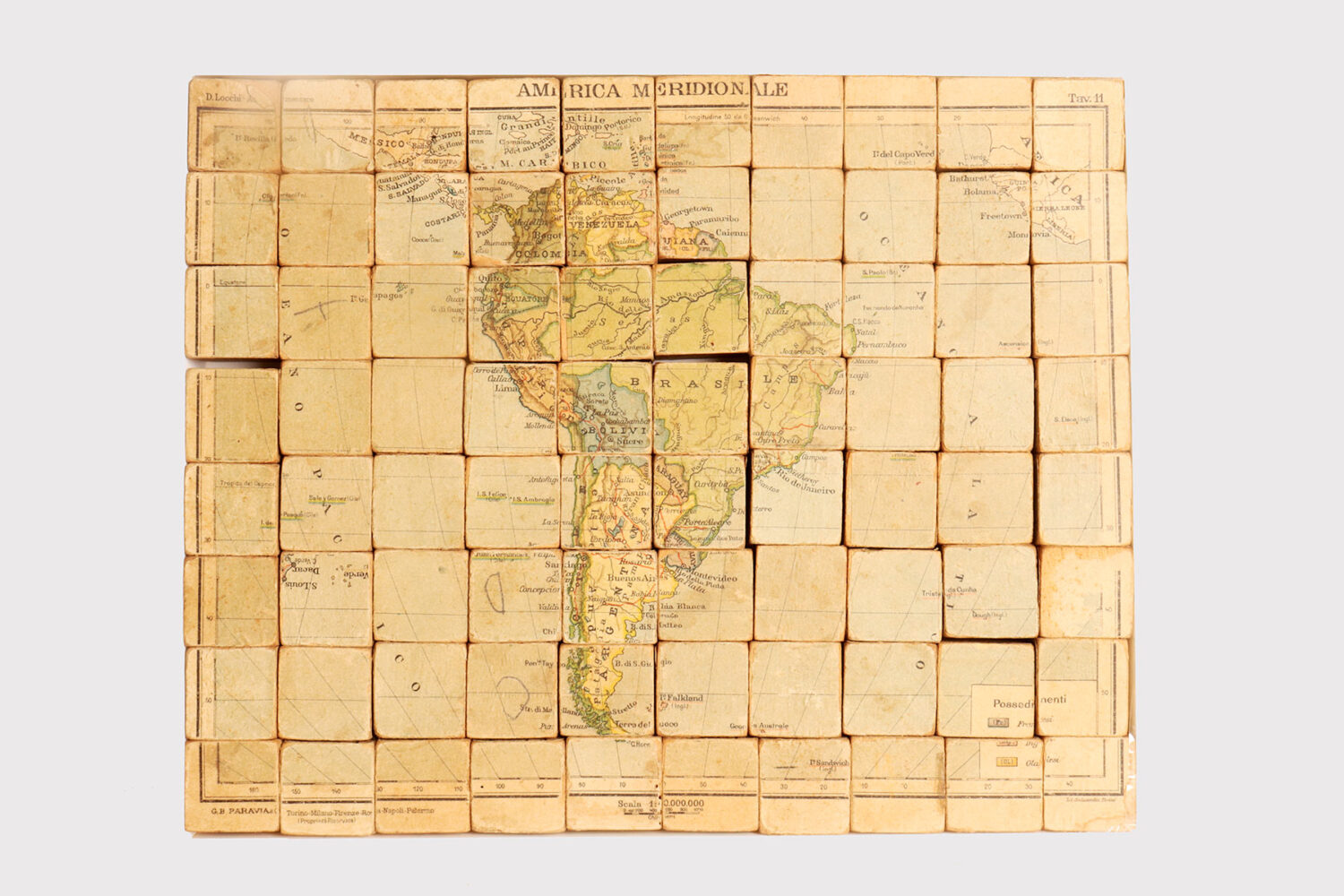
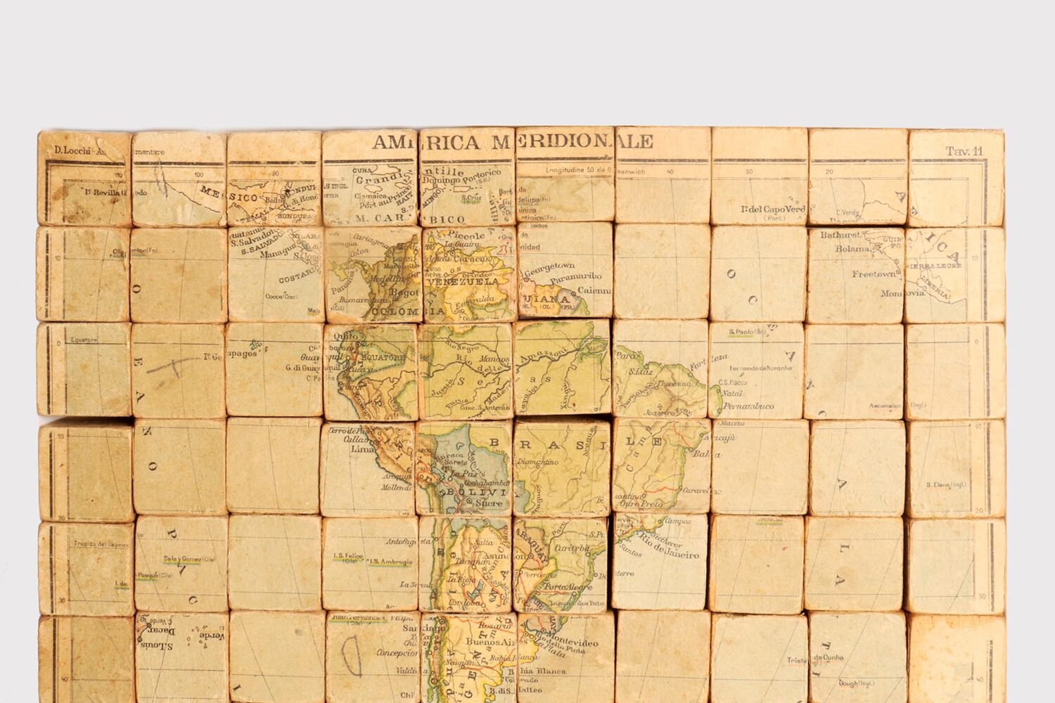
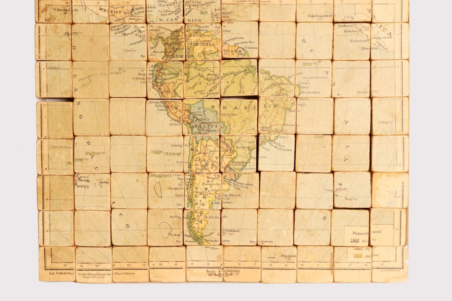
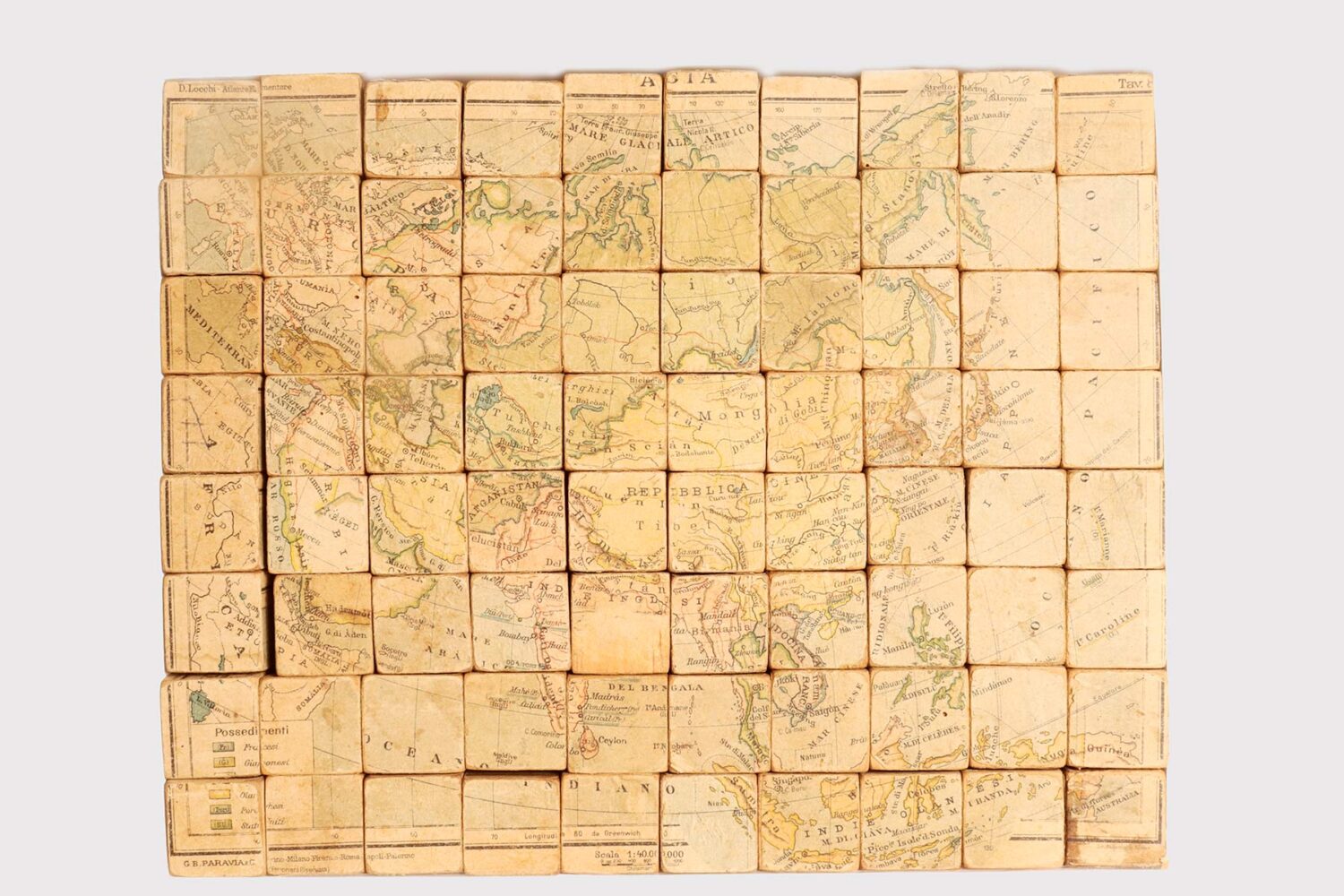
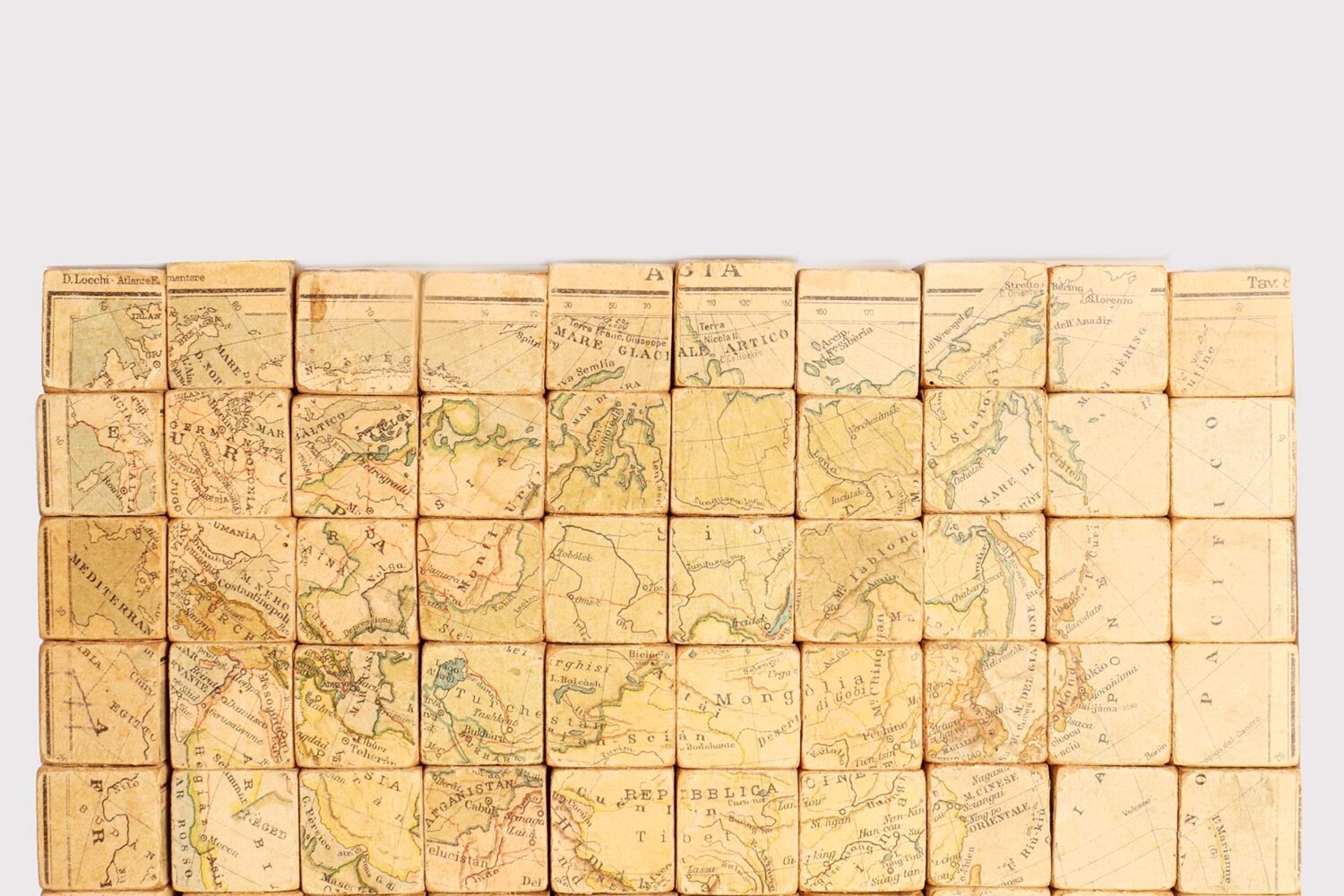
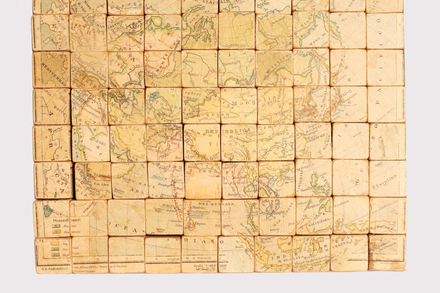
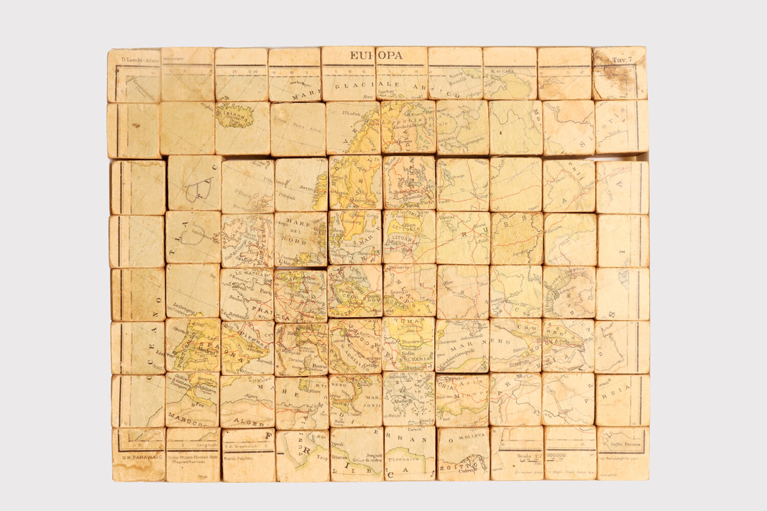
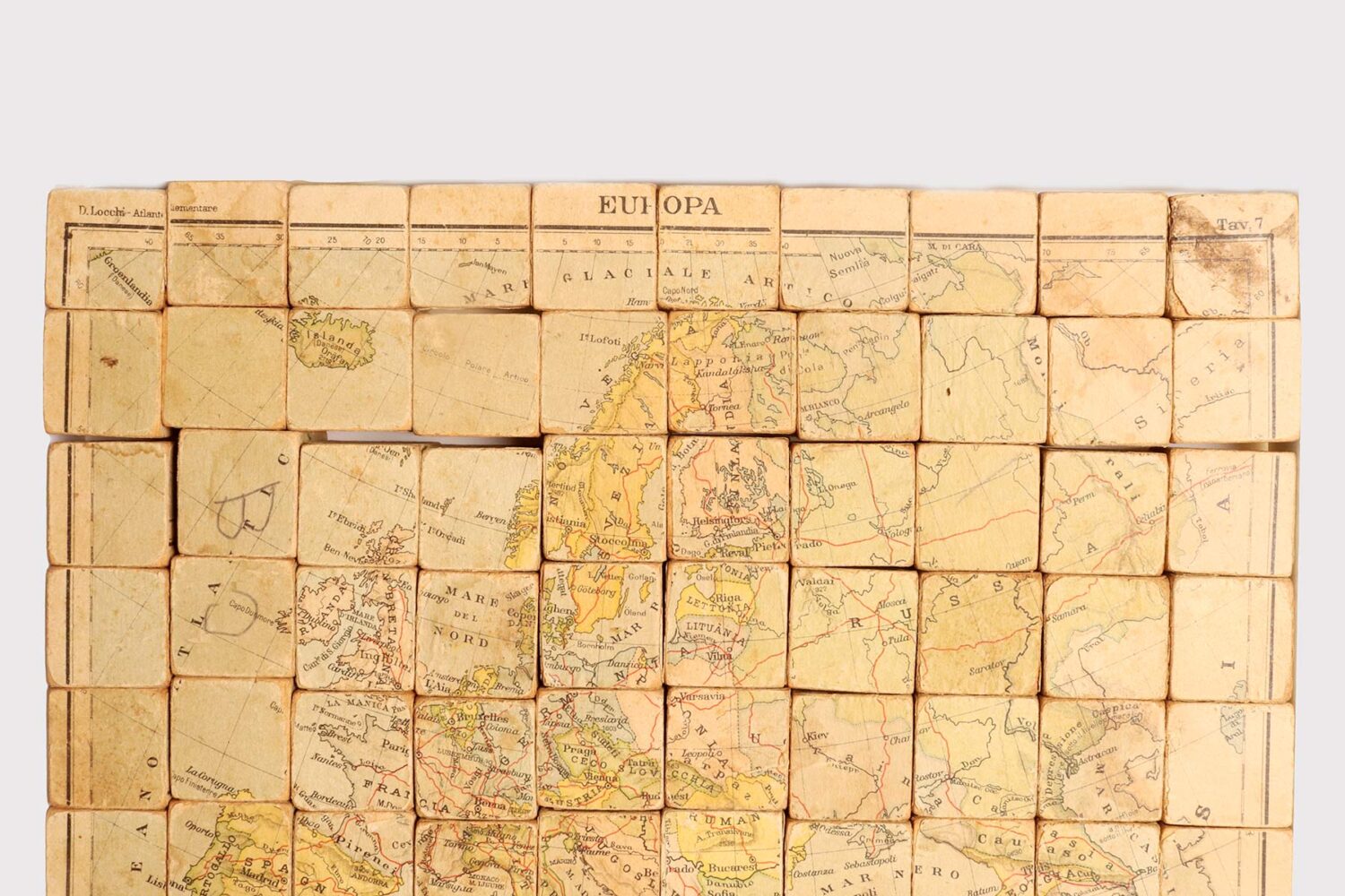
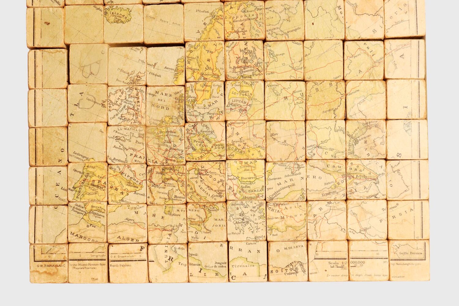
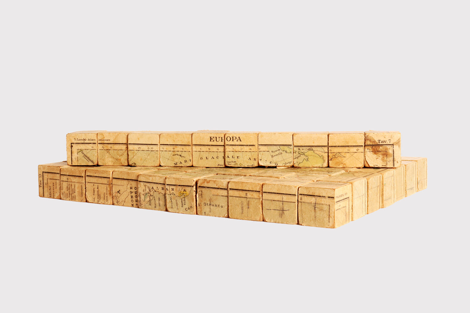
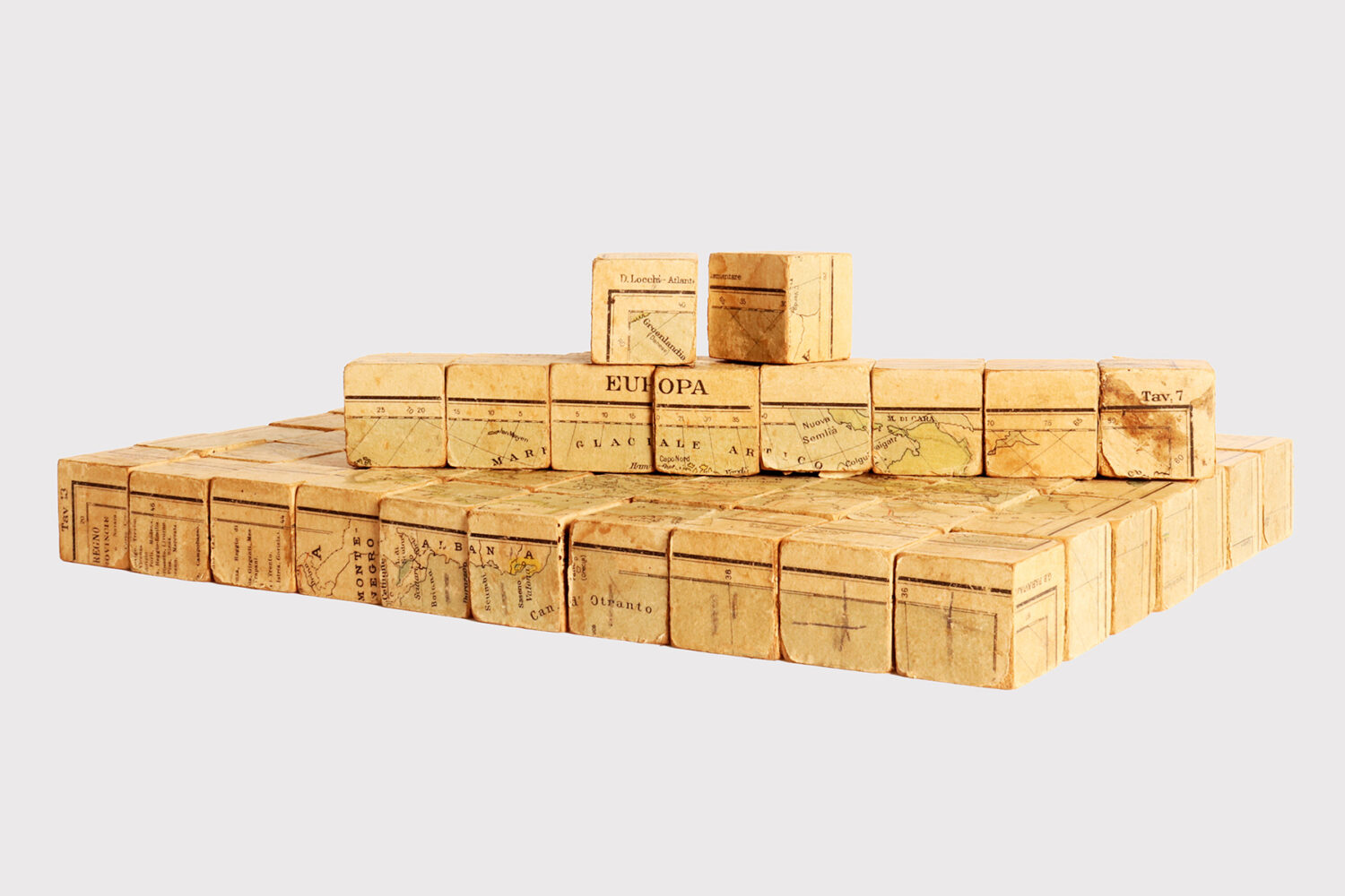
Elementary playful atlas composed of a puzzle, designed by Domenico Locchi, published by Paravia & C, Italy 1920.
Italy circa 1920.
2200 EURO
Elementary playful atlas composed of a puzzle made up of eighty fruit wood cubes sandwiched in paper faces. Each of the faces of each die participates in a geographical table, or elementary atlas, on a scale of 1:1.000000. There are six tables: Italy, North America, South America, Africa, Asia, Europe. The maps are drawn up and designed by Domenico Locchi, published by Paravia & C., created by the Cartografica Nani Longhi workshop, Bergamo. Domenico Locchi’s puzzle on political Italy – Histoire Romaine (this one from around 1890) is also known. Italy 1920.
1,25” – 3 CM H 12,5” – 32 CM L 10,25” – 26 CM D
REF: M4602

